- Dec 2
- Children of the Arctic
- Apr 18
- Snow, Wind, and Ice
- Apr 16
- Lesson from the Arctic
- Apr 14
- I Love Doing Science!
- Jan 28
- Bouncing Back in Whiteness
- Jan 27
- The Magical SAR Queen Rules!
- Jan 26
- Arctic Winter Science
- Jan 25
- A Day to Chill
4/18/2016
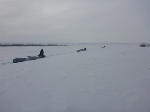
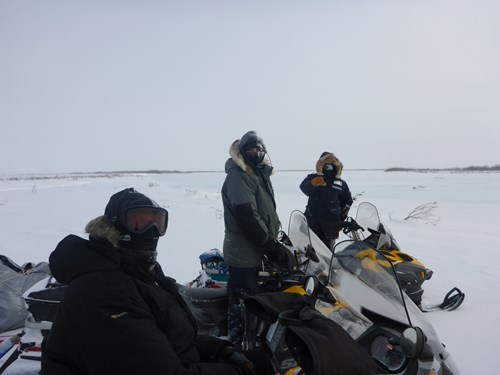
We departed Toolik under blue skies and moderate temps. Sundogs were visible when looking back to check sleds and companions.

Crossing the Itkillik River, lower visibility set in along with 2007 burn tundra, which is rougher and shrubby vegetation. First sticking point came at the crossing the Anaktuvuk River channel. We figured it out after a bit with only an hour and perspiration expended.
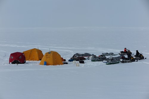
We made it to our intended campsite by about 10PM, spent 2 hours assembling our tents and stoves, and were eating a hearty dinner complements of PF Chang by midnight.
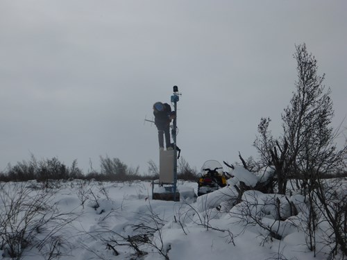
Measuring snow, ice, and permafrost on lakes above and adjacent the Colville River yesterday provide much information on what happened over the winter and since long ago.
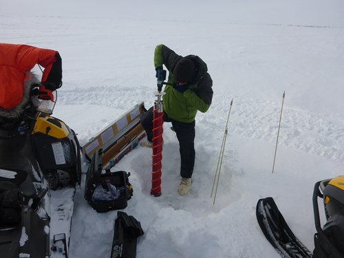
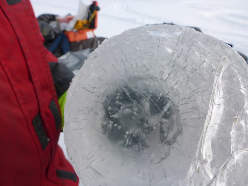
Field work went well and completed all work by this afternoon. Snow is always deep around this area, but was even more so this year. Because of this we also measured very thin ice thicknesses, just about 3 feet. Snow tends to be the biggest factor affecting ice growth.
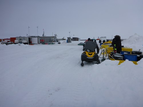
No critters but lots of tracks along the Colville. We packed camp and slid down the steep bluff to Umiat, shuttling sleds to avoid momentum issues. Richard K was working on a Colville River station as we arrived, unloaded sleds and loaded some more fuel for the next leg to Inigok tomorrow.