
- Dec 2
- Children of the Arctic
- Apr 18
- Snow, Wind, and Ice
- Apr 16
- Lesson from the Arctic
- Apr 14
- I Love Doing Science!
- Jan 28
- Bouncing Back in Whiteness
- Jan 27
- The Magical SAR Queen Rules!
- Jan 26
- Arctic Winter Science
- Jan 25
- A Day to Chill
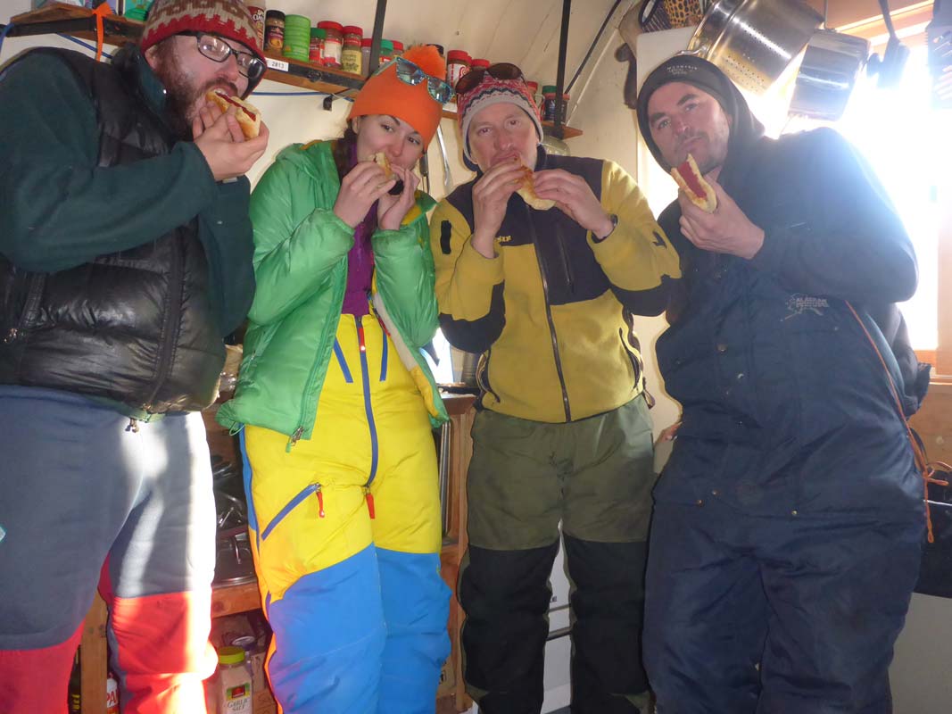
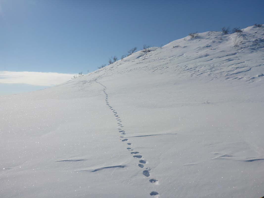
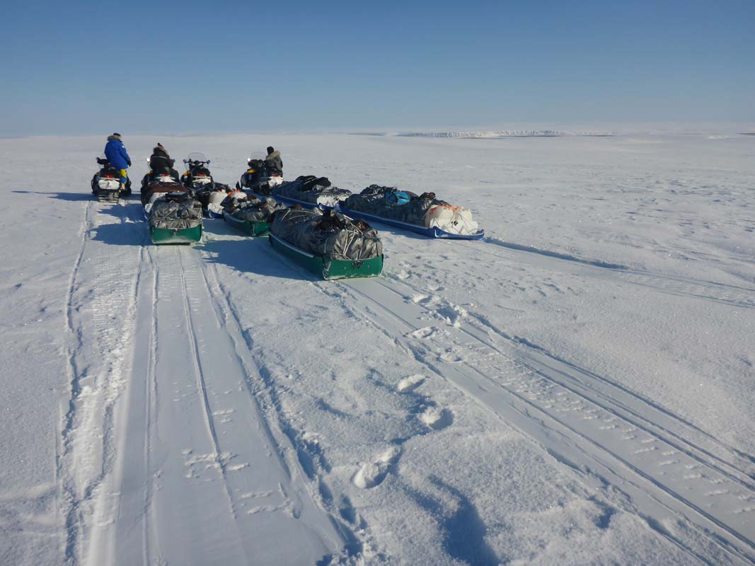
4/12/2017
Leaving Inigok camp heading South today. Work there completed with visit to our last study lake at the Pik Dunes yesterday and snow survey at the USGS met station. Day was clear and wind from SSW. We passed a few small herds of caribou initially startled by our procession eventually stopping to watch us pass. Individual peaks appeared on the horizon of the sand sea coastal plan. Pingos are ice mounds that pop up when water below old drained lakes freeze by the surrounding permafrost and burst upward into the terrain. In this sandy part of the coastal plain lots of pingos can be found and its always a wonder to think about how ancient people and current flora and fauna use these striking landforms. One we stopped by had wolverine tracks leading up its slope.
Further into our day trip to Umiat we started gaining topography into the foothills of the Brooks Range. River crossing and slope posed the biggest challenges pulling heavy sleds. Eventually we got up on a ridge of the bluffs of the Coleville River following an old tractor trail marked on Ben’s GPS and signed by occasional rusty fuel drums and odd poles. Views were dramatic as the sun baked us on the white tundra. Ridge rocks scrapped colored plastic from our sleds as we rode the rough crests.
Arriving at Umiat, Richard Kemnitz had the generator already fired up at his quanset hut (he can do this remotely from Fairbanks) and we quickly settled into our next camp on our adventure south. Hot dogs provided a good appetizer after a nice 60 mi ride.