

- Dec 2
- Children of the Arctic
- Apr 18
- Snow, Wind, and Ice
- Apr 16
- Lesson from the Arctic
- Apr 14
- I Love Doing Science!
- Jan 28
- Bouncing Back in Whiteness
- Jan 27
- The Magical SAR Queen Rules!
- Jan 26
- Arctic Winter Science
- Jan 25
- A Day to Chill
11/15/2016
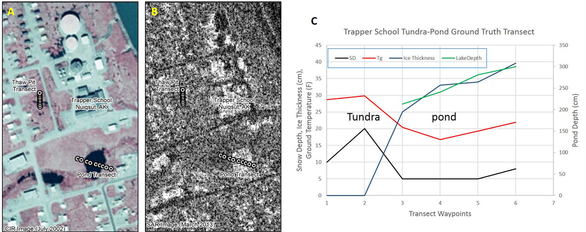
We had the opportunity to visit the village of Nuiqsut over the last few days at the start of winter. Two long late night meeting as part of the BLM’s Subsistence Advisory Panel and workshop to share traditional knowledge about the Fish Creek Watershed. Listening to village leaders share insights and concerns was educational, but probably the best part of our trip was a visit to the school yesterday to get students excited about science!
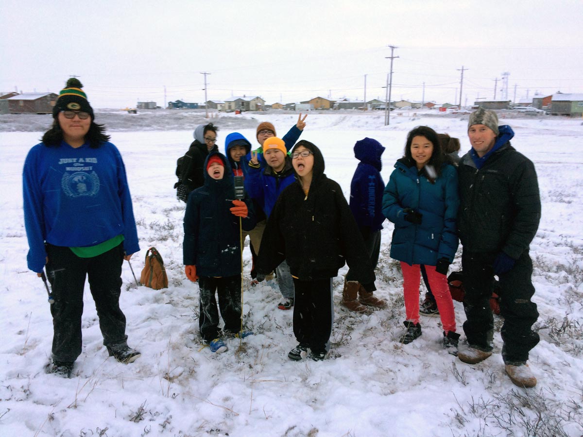
Since we study lakes and ice, these seemed like a good theme to go with and a chance to get outside on a nice winter day. First we got our morning crew of 7-9th graders trained with their science tools.
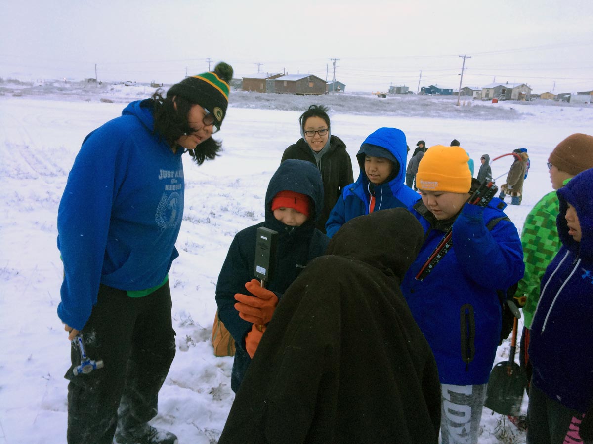
Outside we located points on a transect from tundra across a small pond (actually the bead or pool of a stream running through town and into the Niglik Channel) with careful GPS tracking. Measuring ground temperatures on the tundra and ice was a good start to understanding the role of snow in arctic landscapes.
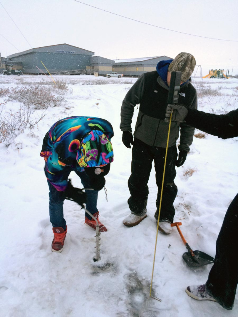
The ice was already 33 cm thick on average and snow was thin on the pond and a bit deeper on the tundra.
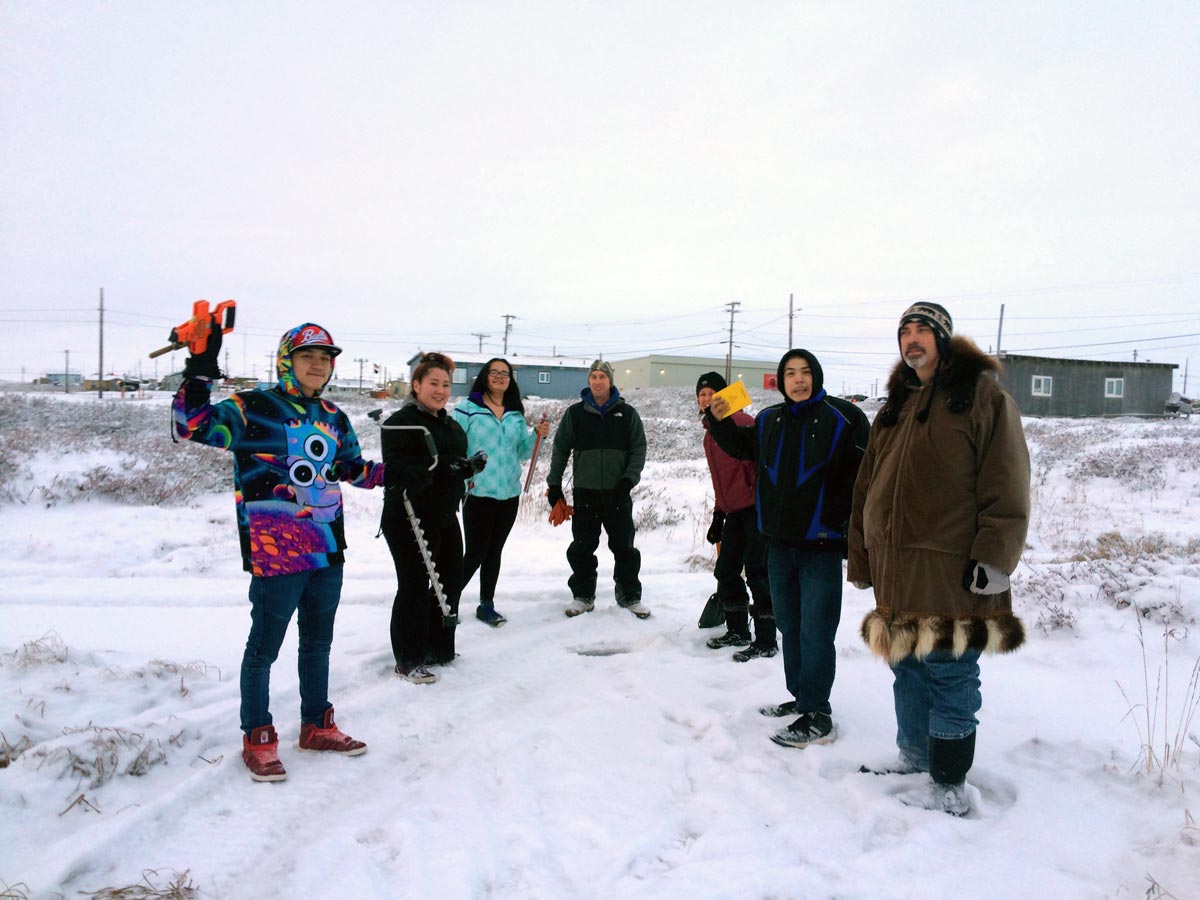
In the afternoon we got together with Mr. Lancaster’s older students to take a look at a smaller permafrost landform, thaw pits at an ice-wedge junction. This took more skill of students with GPS to locate the transect points, but we still found ice and bit of water and thawed ground beneath.
Students from both groups measured snow depth, ground or ice temperatures (at 10 cm depth), ice thickness, and water depth along transect from land to water. We came back to classroom afterwards, plotted out our data, and compared these to a synthetic aperture radar (SAR) image, and color image (Fig 1).
5/5/2016
5/3/2016
5/2/2016
4/29/2016