- Dec 2
- Children of the Arctic
- Apr 18
- Snow, Wind, and Ice
- Apr 16
- Lesson from the Arctic
- Apr 14
- I Love Doing Science!
- Jan 28
- Bouncing Back in Whiteness
- Jan 27
- The Magical SAR Queen Rules!
- Jan 26
- Arctic Winter Science
- Jan 25
- A Day to Chill
1/26/2018
Having the opportunity to study this place in a time of great change is pretty amazing. Plus being able to do it during the winter when so few scientists get a chance to see the landscape in its dominant state is cool!
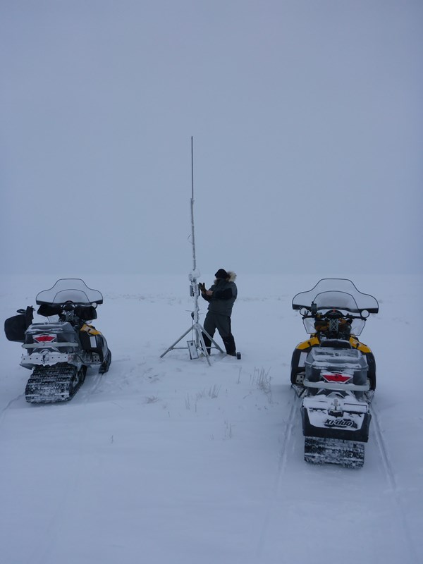
It warmed up a bit today and we hit the tundra at a decent hour. First we headed north towards Drew Point to check on several stations used for monitoring coastline erosion. Stopping along the shores of Boat Lake, Ben pulled the battery from a repeater used to transmit line-of-sight radar signals of timelapse images.
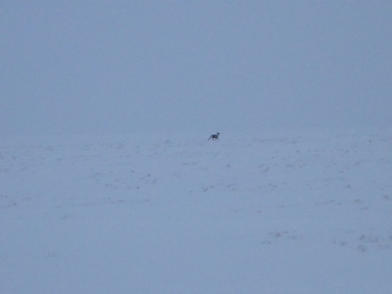
Caribou were our only company we saw, which is good as the next most likely megafauna up here right now would be PBs.
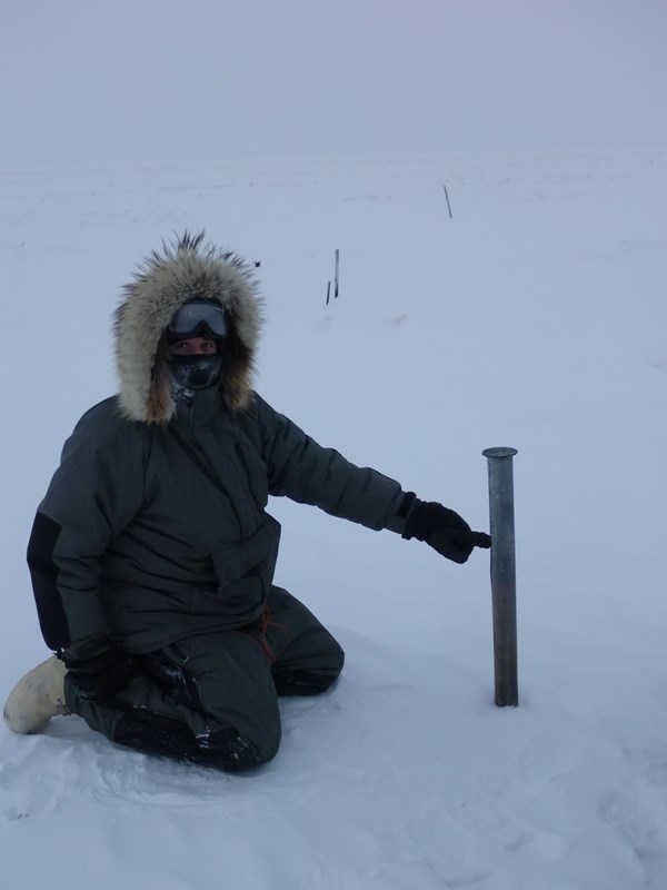
We also came across a set of old benchmarks installed back in the 50’s. Most stick out prominently above their original design either by frost jacking or ground subsidence due to loss of ground ice. If the latter, this is pretty cool because it documents about 1 to 2 feet of surface decline. This is on a coastal plain sitting only about 3 to 15 ft above sea level. We’d never been to this one before and spotting and visiting it is actually pretty efficient and cheap by snowmachine as compared to helicopter in summer.
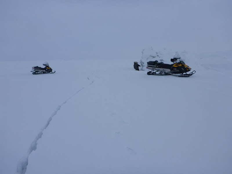
Finally made it to the coast. Usually we can see it far off because of prominent upturned erosional niche blocks of tundra along the bluff. These ones usually collapse at the end of the open-water season and often freeze in place because its colder then and melt of the permafrost blocks is slow. But we didn't really see any this year, probably due to a strong storm that impacted Barrow seriously in late September and probably hit this coastline as well and would have cleaned off the bluff nicely and perhaps cut into the toe of a new set of blocks, setting the stage next years erosion cycle. Seeing these things during all seasons, including the dead of winter, can add extra insight into such processes.
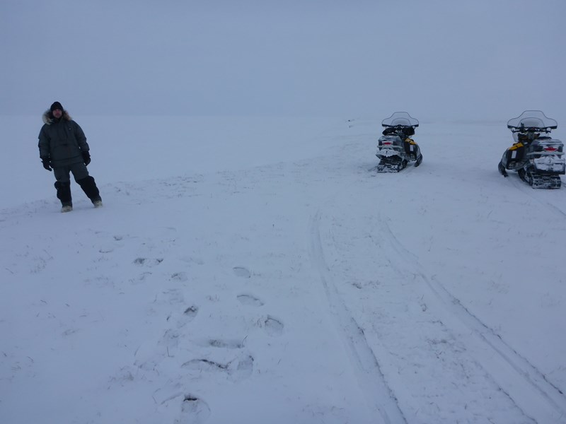
On the trip back, we visited three lakes (two with ice frozen to the bed and one deeper with ice floating above liquid water). On the last deeper one, mean ice thickness was about 85 cm and snow depth of about 20 cm. More ice growth than Barrow Peninsula, but still relatively thin and snow depths are pretty good for this time of year and seem to be set well on lake surfaces (hard and crusty without huge drifts that can erode easier). Knowing the characteristics of snow on lakes and the tundra is one good example of something that only can be understood by being in the field in the winter. There are plenty of others.